Directions to Börje Kyrka (Uppsala) with public transportation
The following transit lines have routes that pass near Börje Kyrka
Which bus line stops near Börje Kyrka?
844
See Börje Kyrka, Uppsala, on the map
Public Transit to Börje Kyrka in Uppsala
Wondering how to get to Börje Kyrka in Uppsala, Sweden? Moovit helps you find the best way to get to Börje Kyrka with step-by-step directions from the nearest public transit station.
Moovit provides free maps and live directions to help you navigate through your city. View schedules, routes, timetables, and find out how long does it take to get to Börje Kyrka in real time.
Bus: 844.
Want to see if there’s another route that gets you there at an earlier time? Moovit helps you find alternative routes or times. Get directions from and directions to Börje Kyrka easily from the Moovit App or Website.
We make riding to Börje Kyrka easy, which is why over 1.5 million users, including users in Uppsala, trust Moovit as the best app for public transit. You don’t need to download an individual bus app or train app, Moovit is your all-in-one transit app that helps you find the best bus time or train time available.
For information on prices of bus and train, costs and ride fares to Börje Kyrka, please check the Moovit app.
Use the app to navigate to popular places including to the airport, hospital, stadium, grocery store, mall, coffee shop, school, college, and university.
Location: Uppsala, Stockholm
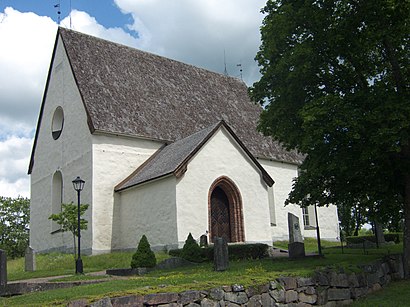
Börje Church (Swedish: Börje kyrka) is a Lutheran church in the Archdiocese of Uppsala in Uppsala County, Sweden, located west of Uppsala.Wiki
Attractions near Börje Kyrka
Klista,Ströbylund,Börje,Börje Skola,Åkerby By,Nyby,Lilla Nyåker,Sundbro,Fjälliden,Gränby,Sundbro Flygfält,Upsala Golfklubb,Läby Kyrka,Läby,VadbackahögenHow to get to popular attractions in Uppsala with public transit
Berns, Stockholm,Rotebro, Sollentuna,Curanten, Nacka,Quality Hotel Friends, Solna,Scania 408, Södertälje,Västra Järnvägsgatan 21, Stockholm,US Embassy Office, Stockholm,SLU, Uppsala,Zetas Trädgård, Stockholm,Östermalm, Stockholm,Tvärbanan, Sundbyberg,Hammarby Sjöstad, Stockholm,Lockan, Stockholm,Monitor Erp Arena, Gävle,Spår 1 Gävle C, Gävle,Kneippbyn Sommarland, Gotland,Grillby, Enköping,Västmanlands sjukhus Västerås, Västerås,Masmo, Huddinge,Tekniska Museet, StockholmGet around Stockholm by public transit!
Traveling around Stockholm has never been so easy. See step by step directions as you travel to any attraction, street or major public transit station. View bus and train schedules, arrival times, service alerts and detailed routes on a map, so you know exactly how to get to anywhere in Stockholm.
When traveling to any destination around Stockholm use Moovit's Live Directions with Get Off Notifications to know exactly where and how far to walk, how long to wait for your line, and how many stops are left. Moovit will alert you when it's time to get off — no need to constantly re-check whether yours is the next stop.
Wondering how to use public transit in Stockholm or how to pay for public transit in Stockholm? Moovit public transit app can help you navigate your way with public transit easily, and at minimum cost. It includes public transit fees, ticket prices, and costs. Looking for a map of Stockholm public transit lines? Moovit public transit app shows all public transit maps in Stockholm with all Bus, Train, Metro, Light Rail, Ferry and Cable Car routes and stops on an interactive map.
Stockholm has 6 transit type(s), including: Bus, Train, Metro, Light Rail, Ferry and Cable Car, operated by several transit agencies, including SL Tunnelbana, SL Spårvagn, SL Lokalbana, SL Rail, UL, Flygbussarna, Sörmlandstrafiken, X-trafik, Region Gotland, VL, Trosabussen, Vy Bus4You, Bergkvarabuss, Silverlinjen, Y-buss